I started to get a whiff of this when using Topofusion (see previous posts) and, more recently, Global Mapper, because these programs can load imagery in the background of your project when you are online. Anyway, check this out:

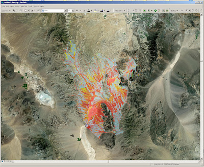
The image above shows my Ivanpah Valley, NV megamap (the flood hazard version) at 1:250k with high resolution ortho imagery in the background. Also, check this out:

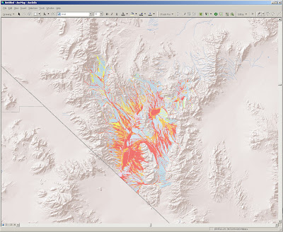
ESRI provides a decent data set of shaded relief for the globe. This is what southern Nevada looks like. The shaded relief looks considerably better when zoomed out over a larger region and makes a great overview map.
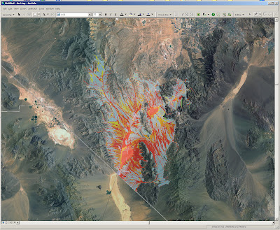
You can also 'be served' some pretty decent satellite imagery, as shown below:

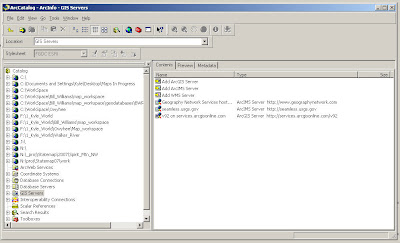
So, how does this work? Pretty freaking simple. Create Network Connections in ArcCatalog. You just need to decide if it is an ArcGIS server, an ArcIMS server, or an WMS server. Then you simple add the server data source to your active project much as you would imagery or data hosted on your desktop computer. Of potentially great interest is the fact that you can connect to seamless.usgs.gov and choose the data type that you want to add from a long list.

Note: The high resolution imagery available at ArcGIS online is the new color NAIP orthoimagery (I'm pretty sure), so it is completely viable as a geologic mapping supplement. I wish I had known about this long ago. Being self-taught in GIS has its disadvantages. If any of the 4 people out there who may look at this blog know of any other online map services of value to geologists, let me know.

2 comments:
FYI - The State of Arizona is hosting state-wide imagery
In ArcMap, click the Add Data button and in the Add Data dialog, select "GIS Servers"
Select "Add ArcIMS Server"
In the Add ArcIMS Server dialog, the URL you will use is http://129.219.93.216
Click OK to accept. This will close out the Add ArcIMS Server dialog.
You should now see 129.219.93.216 listed in the Add Data dialog. Double click it to expand it.
Select the Arizona service.
Mike! Thanks. Nice to hear from you. Any advice is appreciated.
Post a Comment